


Winter is closing in on Alaska, and the state is heading into the season under the influence of a newly developed La Niña, the cooler phase of the El Niño Southern Oscillation.
According to NOAA’s Climate Prediction Center, this weak-to-moderate La Niña is expected to persist through December and into February, with about a 55% chance of fading into neutral conditions by early spring.
La Niña forms when sea-surface temperatures drop below normal across the central and eastern tropical Pacific. That cooling shifts atmospheric patterns and often strengthens a high-pressure ridge in the North Pacific.
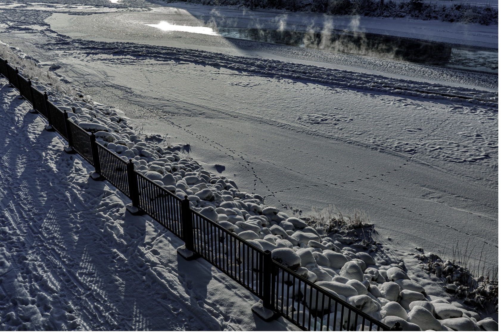
For Alaska, that generally leads to more low-pressure systems that spin storms into the Gulf and Bering Sea, ushering in colder air and increased precipitation – although the impacts vary by region.
This year’s event is on the weaker side, meaning its effects will be shaped not only by tropical ocean temperatures but by other forces, including the late sea-ice formation and the possibility of a late-winter disruption of the polar vortex, NOAA says.
NOAA expects a divided winter across Alaska’s vast geography, with western communities leaning warmer and wetter, while the Southeast and parts of the mainland have a greater chance of colder, drier conditions.
Northwestern and Western Alaska: Above-normal temperatures are favored, thanks largely to late-forming sea ice and long-term warming trends. Highs could run 2–5°F above average in places like Nome, Kotzebue, and coastal villages along the Bering Sea.
Southeastern Mainland & Alaska Panhandle: Slightly below-normal temperatures are possible, especially in January and February. Communities from Juneau to Ketchikan may see low temperatures 1–3°F below the seasonal average, heightening the chance of extended cold snaps and prolonged freezes.
As for precipitation:
Western and Coastal Alaska: The projection is for a higher probability of above-normal precipitation, with more rain in some coastal areas and heavier-than-usual snow elsewhere. Places like Bethel, Unalaska, and Nome could see 10–20% more snowfall than average this winter.
Southeastern Mainland & Panhandle: A tilt toward drier conditions, which could mean less storm activity and slower snowpack buildup from Yakutat down through the Inside Passage.
Western Alaska may be in for deeper snow total, potentially 10–15% above normal in the Aleutians, which could boost winter recreation but complicate travel. Southeast Alaska may see a lighter snow season.
A wetter-than-average west coast raises the odds of more storm-driven flooding and erosion, especially when heavy systems coincide with king tides in December and January.
And yet, La Niña is only one piece of Alaska’s complex weather cycle, and its influence can shift quickly, especially if the polar vortex weakens late in the winter. A sudden stratospheric warming event, something NOAA forecasters say is possible this coming year, could trigger a burst of frigid Arctic air that sweeps across the state.
NOAA will issue monthly updates, but for now, the outlook suggests a winter that is wetter in the west, colder in Southeast — and plenty of room for surprises as La Niña peaks in early winter.


2 thoughts on “La Niña: Winter may be a bit nippier … or not”
As for Anchorage, the winter weather will be just as unpredictable as it has been for the last 100 years, at least.
After Trump and Musk’s DOGE decimation of all things factual, the former NOAA’s weather predictions have been replaced with Arby’s America’s Got Burn Roasted Burger Look Forward Program promising warm and calm temperatures wherever you are.