

By SUZANNE DOWNING
Sept. 21, 2026 – The first day of fall arrives in Alaska on Tuesday, and after a punishing winter of deep snow and prolonged cold in parts of the state, Alaskans have a natural question: What are we in for this time?
The early answer from federal forecasters is a winter that trends warmer across much of Alaska, drier across much of the mainland and wetter in Southeast — although no seasonal forecast can rule out sharp cold snaps, major snowstorms or damaging coastal weather.
The wild card is a rapidly strengthening El Niño in the tropical Pacific Ocean.
The National Oceanic and Atmospheric Administration said this month that there is a greater than 90% chance the event will become “very strong” during the fall and winter. NOAA also puts the chance at 75% that it will reach historic strength during the October-through-December period, exceeding previous El Niño events dating to 1950 under the agency’s current measurement.
That forecast has attracted particular attention in California, where El Niño winters can steer the jet stream and storm track south, raising the odds of heavier rain, atmospheric rivers and coastal flooding. Some local governments have issued emergency declarations in response to recent high-surf damage and are accelerating flood preparations.
Alaska’s relationship with El Niño is less straightforward. The tropical Pacific warming can influence the Aleutian Low, jet stream, and North Pacific storm track, but the state is also heavily affected by the Arctic Oscillation, the Pacific Decadal Oscillation, sea ice and the precise location of warm and cold ocean water. Those competing forces can weaken or redirect the textbook El Niño pattern.
Even so, NOAA’s latest seasonal outlook, issued Sept. 17, tilts noticeably toward a milder season. Above-normal temperatures are favored from October through February across the central and eastern mainland, Southeast Alaska and the North Slope. The strongest warm signal is in Southeast, where the chance of above-normal temperatures reaches 50% to 60%.
Western Alaska has a weaker and less certain temperature signal, meaning forecasters see roughly equal chances of a warmer, colder or near-normal season in some areas.
The precipitation picture divides the state. For October through December, NOAA slightly favors drier-than-normal conditions in parts of the Central Interior and the Aleutians. A modest wetter-than-normal signal runs from parts of Southcentral into Southeast Alaska.
As winter advances, the dry signal expands. For December through February, NOAA’s historical El Niño comparisons show below-normal precipitation favored over most of mainland Alaska, while Southeast retains a tendency toward wetter conditions.
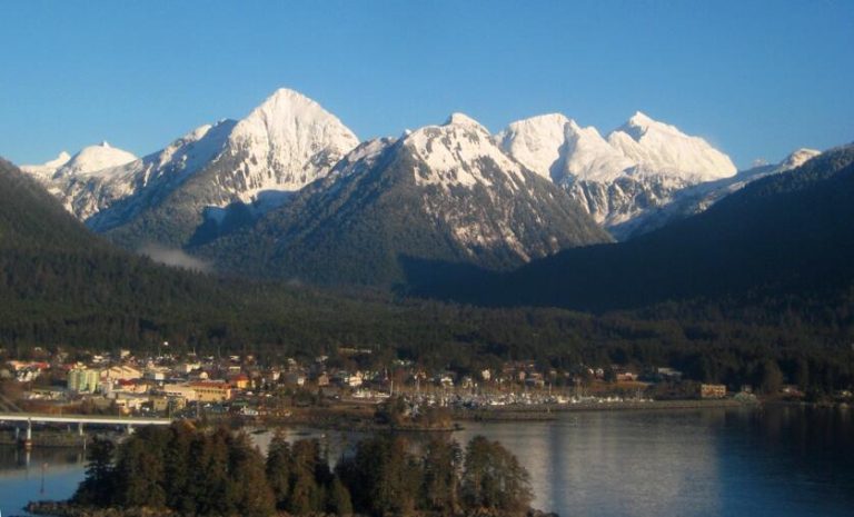
That could mean a less dependable snowpack in the Interior and other mainland areas. If temperatures run warmer, some southern and coastal communities could also receive rain in storms that might otherwise have produced snow. Southeast and the coastal mountains could still accumulate substantial snow, particularly at elevation, even during an overall milder winter.
The outlook would be a marked change from the winter of 2025-26 in many Alaska communities. NOAA calculated Alaska’s statewide winter temperature at 2.8 degrees below the long-term average, placing it in the coolest third of the 102-year record. Fairbanks recorded its coldest winter since 1970-71. February brought exceptional snow to parts of the Interior, and March produced record or near-record cold at several long-running stations. Juneau also endured one of its snowiest seasons on record.
Statewide precipitation last winter was near average, however, underscoring how differently one season can play out from region to region across Alaska.
This winter may therefore feel more moderate in many places, but “warmer than normal” is not the same as warm. And “drier than normal” does not mean snow-free. Seasonal outlooks describe the average across three months.
NOAA noted that the Pacific Decadal Oscillation is currently in a negative phase, unlike the three strongest El Niño events since 1950. That could dampen some of the usual effects. The unusually warm water normally seen in the Gulf of Alaska during a strong El Niño is also shifted farther west this year, adding uncertainty to the forecast.
The best bet is a winter with fewer sustained cold periods across central and eastern Alaska, less reliable snowfall across much of the mainland and wetter conditions in Southeast. Western Alaska remains harder to call. Strong Gulf and Aleutian storms are still possible, as are heavy snow events almost anywhere when cold air and moisture line up.